AI-Powered Digital Twins for Smart Cities: How They Work
Picture a city closing one lane for repairs. The diversion looks sensible on a map. By Monday morning, though, buses are late, traffic is backing up outside a school, and delivery drivers are blocking a side street.
Urban decisions have a habit of spilling into places nobody expected.
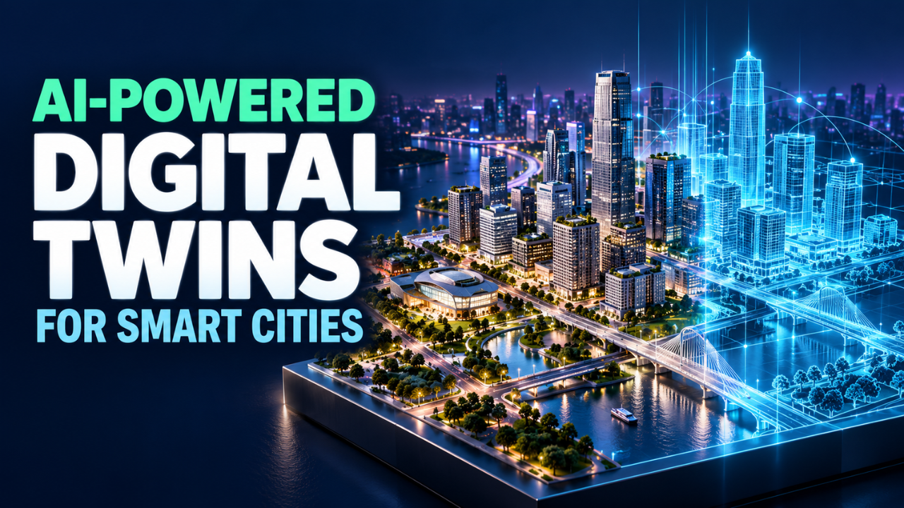
AI-powered digital twins for smart cities offer a way to explore those knock-on effects before making changes. They connect digital representations of streets, buildings and infrastructure with relevant real-world data, then help teams test possible outcomes.
Spotting a weak plan before digging up a road could save people a lot of disruption. The harder question is whether its digital model reflects the city well enough to deserve that confidence.
Table of Contents
- What a city twin actually does
- Where the intelligence comes in
- Making the morning commute less painful
- Planning for heat, floods and energy demand
- What real projects already show
- The unglamorous work that makes it reliable
- Protecting the people behind the data
- Start with one problem residents can feel
What a city twin actually does
A city digital twin is a digital representation of a real place or system, maintained with information from its physical counterpart. Depending on its purpose, it might cover a drainage network, a transport corridor or a whole district. NIST’s overview describes digital twins as representations that let users examine real-world entities and changes in their state.
Some twins have detailed 3D views. Others work mainly through network models, simulations and dashboards. The useful part is how well the representation supports a particular decision.
For example, a drainage twin might combine pipe locations, ground levels, rainfall forecasts and water-level readings. Engineers could explore where water might accumulate under different conditions.
Update speed depends on the job. Traffic management may need frequent readings, while a building renovation study can use slower-changing records. Demanding second-by-second updates for everything adds expense without necessarily improving the answer.
Where the intelligence comes in
Machine learning can help estimate what happens next. It can identify patterns in historical and incoming data, flag unusual behaviour, and support comparisons between possible actions.
Take a water pump. Engineers might train a model to recognise changes in vibration and power use associated with previous faults. Within a suitable twin, those warnings could help them assess which connected areas would be affected by a shutdown.
Different modelling methods can work together. Physical models describe processes such as water flowing through pipes. Machine learning can help estimate demand or approximate calculations that would otherwise take too long.
Now, here’s the thing: a prediction needs context. A forecast trained on ordinary working days may struggle during a festival, a power failure or an exceptional storm.
Teams should show uncertainty and explain the conditions behind a result. “This route may flood under these rainfall assumptions” gives an operator something useful to examine.
Making the morning commute less painful
Transport is an obvious testing ground because small changes can affect thousands of people.
Imagine a council considering a longer green light on a busy road. A transport twin could help compare what that means for nearby junctions, bus services and pedestrian crossings before a controlled trial.
The objective matters as much as the model.
If the system only tries to move cars faster, it could recommend a change that leaves people waiting longer to cross the street. A sensible evaluation would also consider bus reliability, walking access and safety.
Roadworks offer another practical scenario. Planners could compare diversion routes against school opening times, scheduled events and known bottlenecks.
A simulation still has to earn the transport team’s confidence. The team needs to check predictions against observed journeys and measure the effect of any change. Otherwise, a convincing simulation can become a very elaborate guess.
Planning for heat, floods and energy demand
Weather risks expose how closely city systems connect. A hot afternoon can increase cooling demand while making an exposed bus stop uncomfortable or dangerous.
With suitable models and data, planners could compare tree planting, shade structures and building layouts. A useful study would examine who benefits and at what time of day. Shade at lunchtime may do little for someone waiting for the last afternoon bus.
Flood planning raises similar questions. Teams can test rainfall scenarios against drainage capacity, ground levels and development plans. Machine learning may support parts of that analysis, but the underlying water modelling and local checks still matter.
Energy planning adds another layer. Imagine a neighbourhood installing electric vehicle chargers while nearby buildings replace heating equipment. Looking at each project separately could miss their combined demand on local infrastructure.
A connected model could help compare timings and locations. Its recommendations would still need engineering review, especially where equipment limits or incomplete records constrain the analysis.
What real projects already show
Singapore provides a concrete example at district scale. According to its Urban Redevelopment Authority, the Open Digital Platform at Punggol Digital District connects building systems, sensors and connected devices. It powers a 3D twin for monitoring and simulations, with machine learning recommending energy settings for systems including cooling towers and lifts.
Helsinki shows the value of a broader urban modelling foundation. Its Energy and Climate Atlas uses the city’s 3D models to provide information including simulated heating demand and estimated solar energy potential. These capabilities illustrate what city models can offer; they don’t establish that every function uses machine learning.
My takeaway from these examples is practical: define the decision first. Managing district equipment and assessing renovation opportunities need different data, update schedules and measures of success.
The unglamorous work that makes it reliable
The biggest headaches can start with something as ordinary as an address.
One department records a building by street number. Another uses a property identifier. A utility has an old account reference. Unless someone connects those records correctly, the twin may combine information about different places.
Sensors need attention, too. A faulty reading can look like an emergency; a missing reading can hide one.
Validation should include checking whether the model reproduces observed conditions and whether its predictions remain useful when circumstances change. Although focused on manufacturing, NIST’s digital twin workshop findings highlight interoperability, validation, uncertainty and workforce readiness as continuing challenges.
For a city project, I’d want teams to test against events they haven’t used for tuning, document known gaps and keep track of prediction errors.
The budget also needs to cover the years after launch. Data agreements, repairs, software updates, computing and staff time all belong in the cost. Procurement should establish how the city can export its data and continue operating if a supplier changes.
Protecting the people behind the data
City data can describe people’s routines. Combining movement information with other records may reveal more than residents expect.
A sensible design starts by asking what information the service actually needs. A congestion study might work with traffic counts rather than identifiable journey histories. Access limits and retention periods should follow from that purpose.
Security matters throughout the system, from incoming readings to accounts used by operators. NIST’s security report specifically examines the cybersecurity and trust challenges of digital twins.
For any connection to physical controls, I’d expect clear authorisation, recorded changes and a workable fallback when data or communications fail.
There’s also a fairness question. A neighbourhood with fewer sensors may be poorly represented. Residents’ reports, local inspections and community consultation can help expose gaps that a polished interface makes easy to overlook.
Start with one problem residents can feel
A focused pilot gives a city something concrete to judge. Pick a recurring problem, establish the current situation and decide what improvement would count.
For a bus corridor, that might mean more reliable journey times without longer pedestrian waits. For public buildings, it could mean lower weather-adjusted energy use while maintaining comfortable indoor conditions.
Compare results with the existing approach. If a simpler tool performs just as well, that finding should shape the next investment.
Staff ownership matters here. Someone needs to investigate alerts, approve interventions and maintain the model after the project team moves on.
AI-powered digital twins for smart cities earn their place through better everyday decisions. Start with a problem people recognise, test the model honestly and keep checking what happens on the street. The real measure of success is whether life gets a little easier outside the screen.